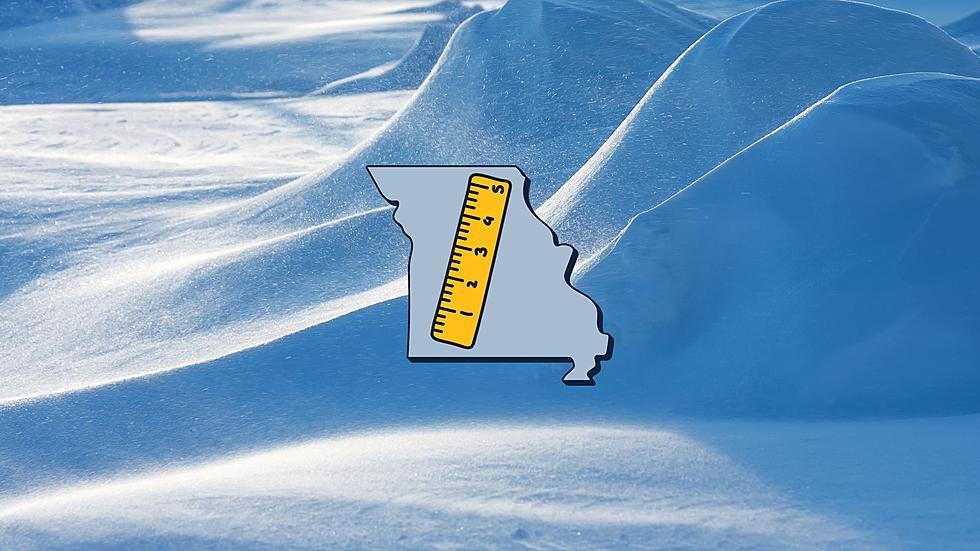
High Probability Missouri Gets More than 5 Inches of Snow Tuesday
It is beginning. The weather pattern that will likely see multiple winter storms dump snow on Missouri is upon us. The National Weather Service has just shared a new probability map and it looks like much of Missouri will have at least 5 inches of snow to deal with by the end of the day on Tuesday.

The National Weather Service says that the storm system should begin making its way across Missouri late in the day on Monday with a majority of the snowfall happening Tuesday.
The new estimate puts most of northeast Missouri in the 80% probability for having more than 5 inches of snow.
There is significant wind that is also expected to be a part of this storm which will make blowing precipitation an issue for travelers in Missouri.
Here's something else to consider. The National Weather Service in Springfield, Missouri shows there are two potential paths for the storm. Which path it takes will determine which part of Missouri gets the higher snow amounts.
The storm system moving through Missouri Monday and Tuesday is just the beginning. The system which models show will follow it by next weekend is now expected to be even more fierce with Accuweather saying "twin blizzards" are even possible in Illinois.
Since we're a week away from that 2nd system affecting Missouri and Illinois, I won't share what computer models are showing is possible, but know that the snow in that 2nd system could be very disruptive to normal life.
Make sure to follow the National Weather Service in St. Louis as this is a developing weather system that will likely get more serious as the week goes on.
Top 20 Missouri Places That Get the Most Snow Every Year
Gallery Credit: Canva
10 Absolutely Amazing Personalized Plates You Can Get in Missouri
Gallery Credit: Missouri Department of Revenue