55 Midwest Locations Had Hurricane-Force Winds this Week
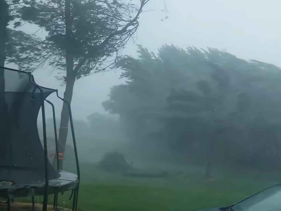
It's no secret that we had an extreme weather event this week. How windy was it? Answer: very. Over 50 Midwest locations had hurricane-force winds during Wednesday's storms.
If you're not familiar, it takes a day or so before the National Weather Service can fully assess what happened where. Today, the NWS Storm Prediction Center shared this graphic showing just how windy it was.

Here's a slightly bigger version of their map showing 55 Midwest locations exceeded hurricane force winds of 75 mph or greater.

It's important to emphasize that hurricane-force and an actual hurricane are vastly different animals. A 75-mile-per-hour gust is severe, but a hurricane is defined as having 75 mph SUSTAINED winds on the Saffir-Simpson scale.
Still, that many areas with winds of that magnitude is rare and as the Storm Prediction Center said, the most in a day in 17 years. Crazy.
The fact this happened in the middle of December is baffling also.
8 Pics of Hannibal and Quincy Taken by Astronauts in Space
An Almost 3 Million Dollar Log Cabin in Missouri's Lake of the Ozarks

More From KICK AM, Classic Country